Starting today, some Fulton County homeowners may have a new purchase to make — flood insurance.
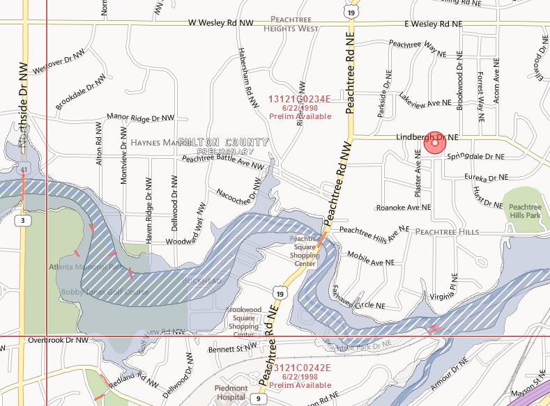
Using advanced technology, the state has updated flood risk maps for several counties in metro Atlanta near the Upper Chattahoochee River Basin.
Some of the data has come from Georgia’s $18.6 million dollar project with FEMA to update flood insurance rate maps.
The updated maps will be used by insurance companies to determine the level of risk a property faces for flood damage.
Tom Shillock, Georgia’s National Flood Insurance Program State Coordinator, says the project has helped with accuracy.
“What these new maps are doing is more definitively delineating, if you will, where the risk zone is.”
Shillock says some homes previously located in low risk areas may now be in special flood hazard areas.
And others that were considered high risk might have been moved to a moderate or lower risk zone.
Updated flood risk maps have already gone into effect for several other counties including Cobb, Gwinnett and DeKalb. Homeowners can view the new interactive flood maps at georgiadfirm.com
The maps going into effect today come just two weeks before national flood insurance reform kicks in thanks to the Biggert Waters Flood Insurance Act signed by Congress last year.
Under the reform act, home and business owners in high risk areas with pre-existing flood insurance will face increases of up to 25 percent.
Owners with subsidized premiums can expect incremental increases until they are paying the full risk rate as determined by the updated flood maps.
Those purchasing insurance for the first time will pay the full risk rate.
The increases iare part of an effort to eliminate subsidized premiums for properties in high risk areas dating back to 1968.
Congress hopes the changes will make the National Flood Insurance program financially stable. The program has been hard hit financially through devastating hurricanes such as Katrina and Sandy.
You can check your address to see if your assessed risk might have changed by going to the interactive online map from the Georgia Department of Natural Resources.
FEMA has the same information available on its web site.
9(MDAxODM0MDY4MDEyMTY4NDA3MzI3YjkzMw004))