17th Century Rome Comes Alive At The Carlos Museum

Michael C. Carlos Museum
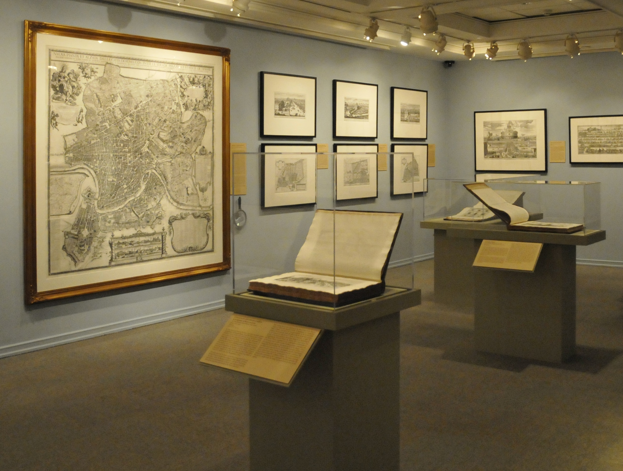
Historical maps have long allowed us to explore far away places. Now, thanks to technology, a paper map is coming alive at the Emory University Michael C. Carlos Museum. The exhibit, Antichita, Teatro, Magnificenza: Renaissance and Baroque Images of Rome, features maps and drawings spanning the sixteenth, seventeenth and eighteenth centuries.
Visitors can not only view the maps themselves, but pick up an Xbox controller and dive right into the virtual Italian city of engraver Giovanni Battista Falda. WABE’s John Lemley visited co-curator Sarah McPhee at the exhibit to discuss Rome, both on paper and on the computer screen.
9(MDAxODM0MDY4MDEyMTY4NDA3MzI3YjkzMw004))


