As hot as the Earth’s weather has been in recent years, it’s about to get hotter: El Niño is on the way, with warmer sea temperatures promising new weather extremes, U.S. and international forecasters say.
For several years now, a persistent La Niña pattern in the equatorial Pacific Ocean has been easing some of the worst temperature rises, as well as shaking up precipitation patterns. But the World Meteorological Organization says that’s all about to change.
“We just had the eight warmest years on record, even though we had a cooling La Niña for the past three years,” WMO Secretary-General Petteri Taalas said.
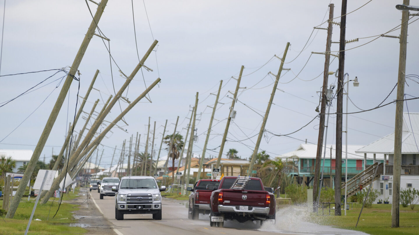
In the U.S., the shift promises relief in other forms, as the outgoing La Niña is associated with more hurricane activity in the East and drought in the West.
Here’s a quick guide to these two influential climate patterns:
They affect hurricanes and other weather
El Niño usually brings a quieter Atlantic hurricane season and more hurricane activity in the Pacific, while La Niña does the opposite — a dynamic that the National Oceanic and Atmospheric Administration has compared to a seesaw.
El Niño’s warmer waters can also push the Pacific jet stream south. When that happens, the NOAA says, “areas in the northern U.S. and Canada are dryer and warmer than usual. But in the U.S. Gulf Coast and Southeast, these periods are wetter than usual and have increased flooding.”
La Niña said farewell in March; since then, U.S. forecasters have mounted an El Niño Watch.
“There’s a 62% chance that El Niño will develop during the May–July period, and more than 80% chance of El Niño by the fall,” according to NOAA’s Emily Becker.
La Niña cools, and El Niño warms
La Niña “acted as a temporary brake on global temperature increase,” Taalas said. That’s because the pattern occurs when sea surface temperatures are unusually cold and are forecast to stay that way for several months.
We’ve been seeing La Niña conditions since late 2020, triggering forecasts of below-normal winter temperatures for much of the northern U.S. and higher temperatures in much of the South.
But because of the new trend of warmer sea surface temperatures, Taalas added, “El Niño will most likely lead to a new spike in global heating and increase the chance of breaking temperature records” that were only recently set.
It usually takes time for the changes to exert their full effects. The WMO says the biggest impact on global temperatures isn’t likely to become apparent until 2024.
The patterns shift regularly, and irregularly
The basic rule of thumb is that El Niño patterns occur more often, but La Niña usually lasts longer — sometimes for years. Most instances of either pattern usually play out over only nine to 12 months.
“El Niño and La Niña events occur every two to seven years, on average, but they don’t occur on a regular schedule,” the NOAA says. In addition to the two patterns, ocean temperatures are sometimes considered “neutral,” meaning they’re not abnormally warm or cold.
While confidence is growing that a new pattern is taking hold, it’s not yet known exactly how strong this incoming El Niño might be.
Still, the World Meteorological Organization is urging people and governments to prepare for hotter and more volatile conditions, citing a possible repeat of 2016 — the warmest year on record, thanks to what the WMO calls a “‘double whammy’ of a very powerful El Niño event and human-induced warming from greenhouse gases.”
Copyright 2023 NPR. To see more, visit https://www.npr.org.
9(MDAxODM0MDY4MDEyMTY4NDA3MzI3YjkzMw004))

9(MDAxODM0MDY4MDEyMTY4NDA3MzI3YjkzMw004))


