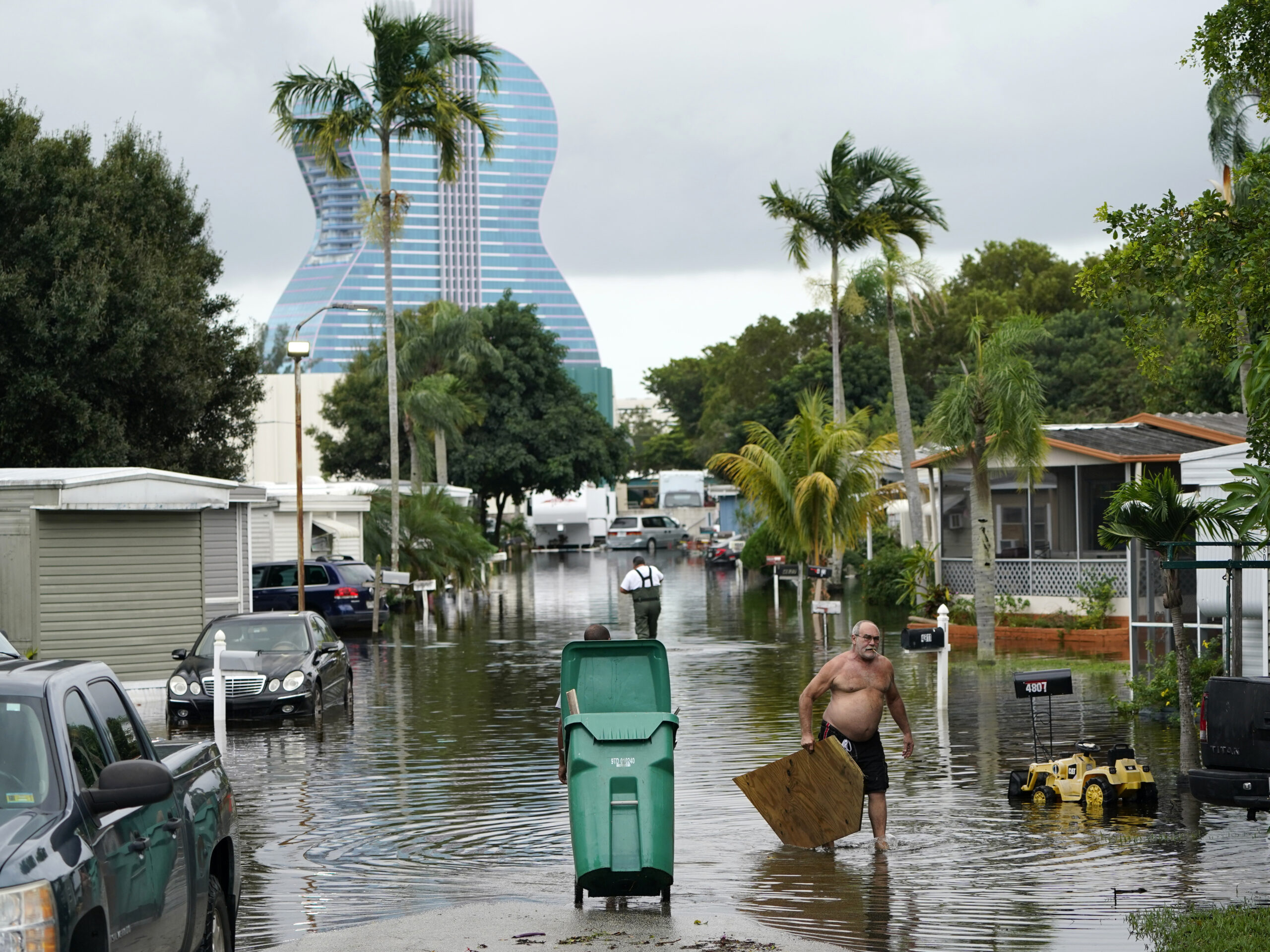
After causing flooding in South Florida, Hurricane Eta was preparing to make landfall on the state’s Gulf Coast, where it is expected to bring more rain and potentially dangerous storm surge.
At 10 a.m., Eta, located about 145 miles south-southwest of Tampa, had rebuilt into a Category 1 hurricane with sustained 75 mph winds. It was forecast to lose some strength before coming ashore on Florida’s west coast as a tropical storm Thursday morning.
On Wednesday morning, school districts in Tampa-area Pinellas and Pasco counties announced that schools would end the day early and remain closed on Thursday due to the storm.
After making landfall, Eta was expected to “recurve around the ridge toward the Florida Big Bend region and out into the western Atlantic Ocean,” according to the National Hurricane Center. However, the NHC warned on Wednesday that “only a small forecast error” would allow Eta to make landfall as a full hurricane.
Tropical storm-force winds were expected to be felt from Florida’s Bonita Beach to the Suwannee and Aucilla rivers beginning late Wednesday. Forecasters have issued a hurricane watch for a section of the coast from Tampa Bay north to Yankeetown and a tropical storm watch for the Dry Tortugas and Bonita Beach to the Suwannee.

9(MDAxODM0MDY4MDEyMTY4NDA3MzI3YjkzMw004))


