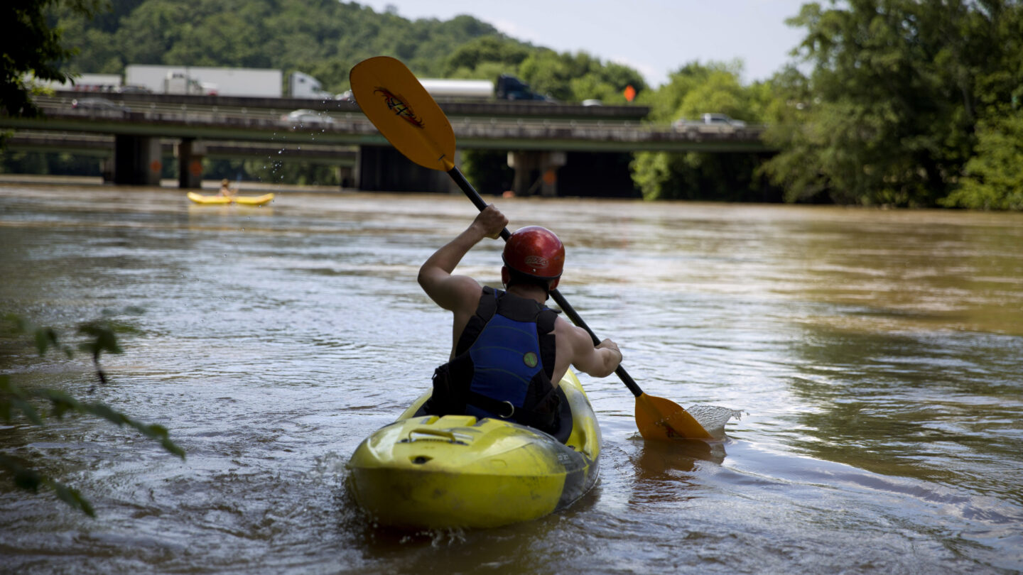
Some parts of the Chattahoochee River are already pretty well-visited. More than 2.7 million people visited the Chattahoochee River National Recreation Area last year, according to the National Park Service. Other parts of the river in metro Atlanta are less accessible and less well-known. The stretch that forms the county line between Cobb and Fulton Counties, which is also the border of the City of Atlanta, has few places for people to get to the river.
A study getting underway this month will look for ways to change that, and open up access to the river for a 100-mile stretch, from Buford Dam on Lake Lanier, to Atlanta, and then south to Chattahoochee Bend State Park, near Newnan.
“We’re trying to take a comprehensive look at the Chattahoochee River corridor to understand issues of public access, public connections, and ongoing questions of water quality and environmental sustainability,” said Byron Rushing, bicycling and walking program manager at the Atlanta Regional Commission.
The ARC, along with the City of Atlanta, Cobb County and the Trust for Public Land, is commissioning the 18-month, $1.5 million study. Rushing said one goal is to find places where transit corridors and the river intersect and river access could be improved. Another is to find ways to connect trails like the Silver Comet, the Proctor Creek Greenway, local and county parks, and those at the National Recreation Area.
“The biggest challenge really with the Chattahoochee River is access,” said George Dusenbury, Georgia state director for the Trust for Public Land. “That is going to be the focal point of this, is identifying those areas where we can increase access to the river.”


